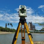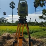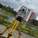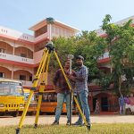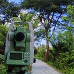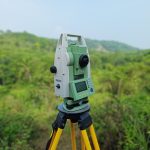
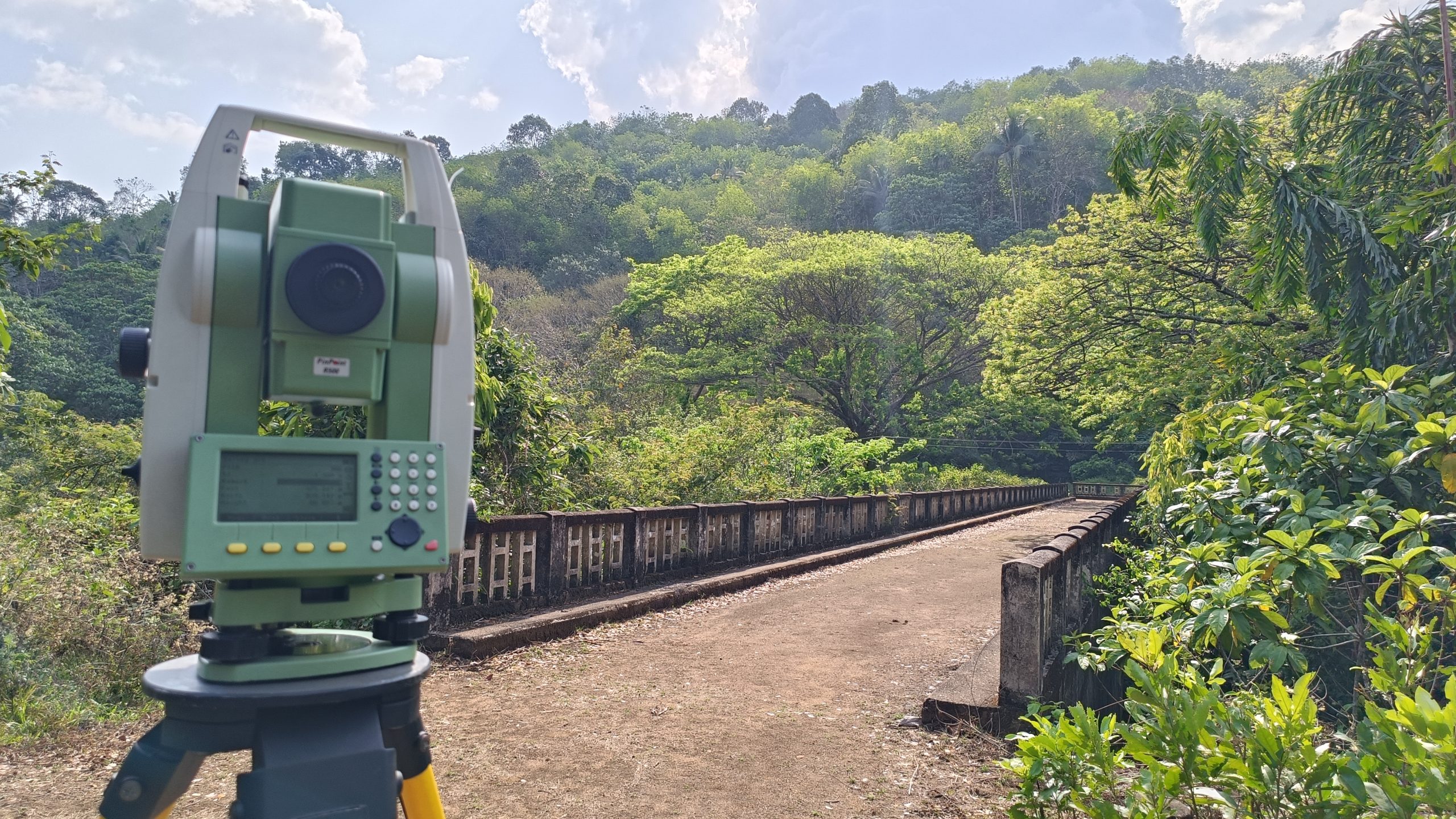
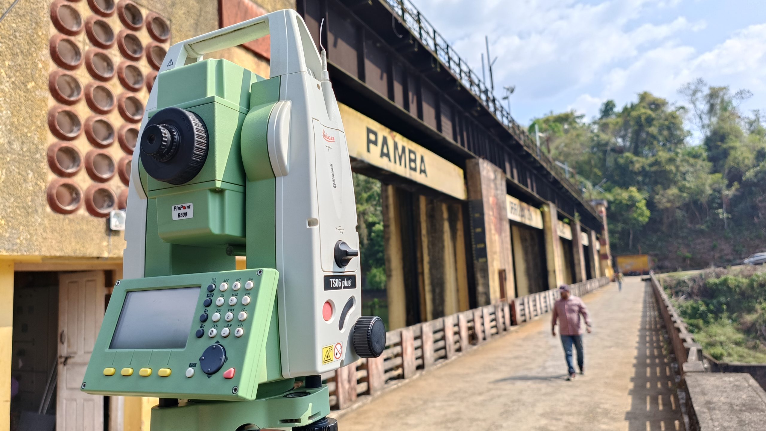
Digital Land Survey
Computerised Land Survey using Total Station and GPS.

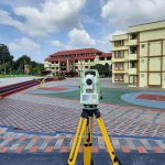
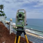
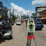
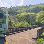
Road Survey
Helps to identify the right location for the road works along with optimal curve placements.
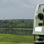
Quantity Calculation
Helps to calculate the quantity of earthwork in cutting, filling for constructions.

Plot Division
Divides land into required no. of Plots
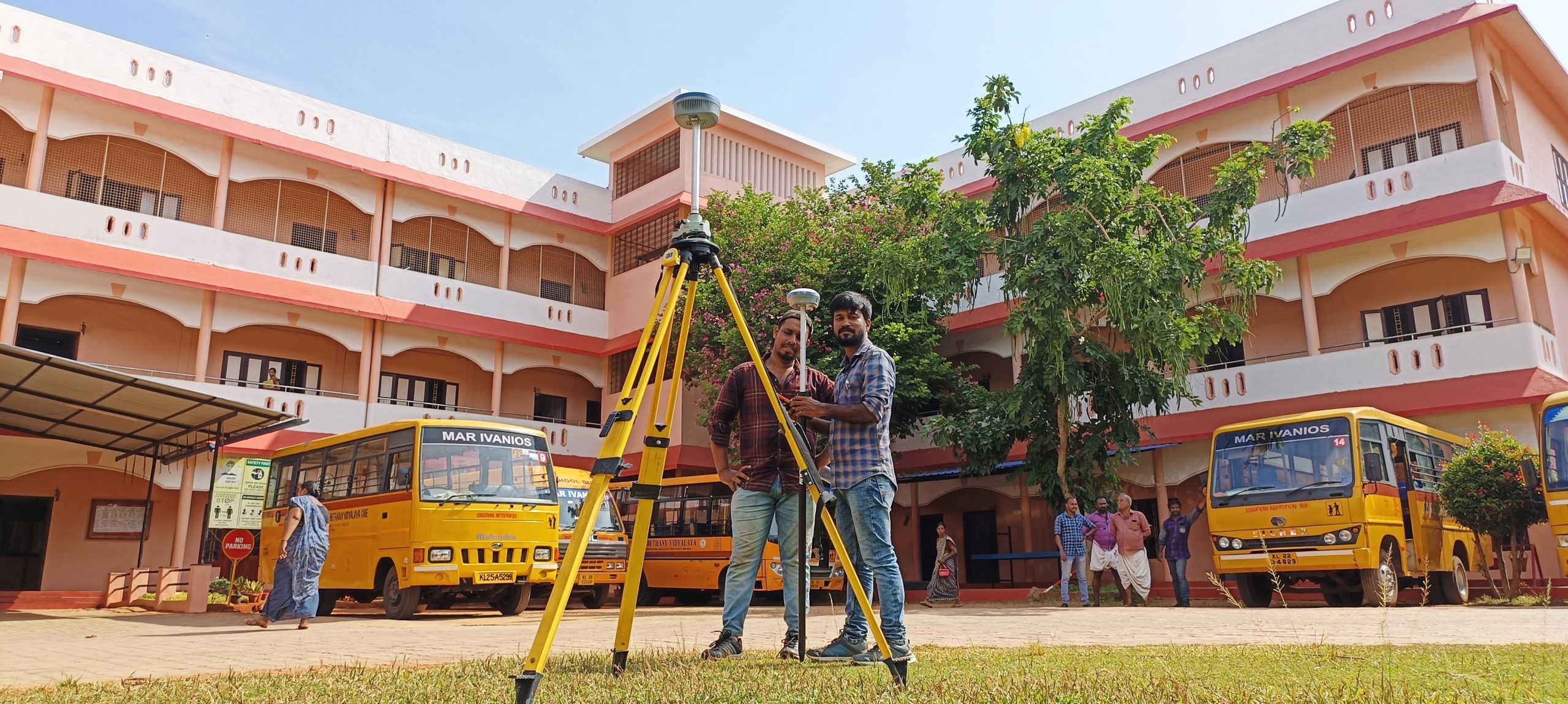
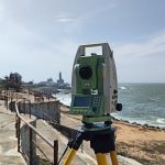
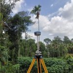
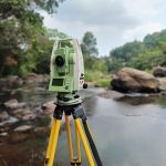
GPS Survey
Uses RTK Survey technology to measure relative positions.

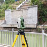
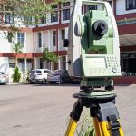
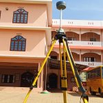
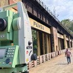
Construction Survey
Performs Interior Survey and survey work for various Construction Purposes.