ORBIT SURVEYORS
Digital land survey and mapping
Welcome to Orbit surveyors, where digital land survey techniques meet precision in land surveying and mapping. We are leading Land Survey and Mapping Consultant in Trivandrum with 12 years of experience in accurately measuring and mapping a specific area of land to determine its boundaries, dimensions and physical features. Digital land surveying offers several advantages over traditional surveying methods that rely on manual measurements. In today’s rapidly evolving world, the construction and development industry demands accuracy and comprehensive solutions. At Orbit Surveyors, we not only meet these demands but exceed them with our digital surveying services.
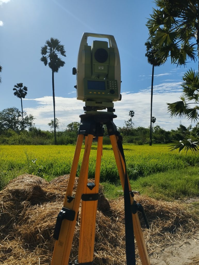
Our team of experienced and licensed surveyors utilizes computerized equipment, including Total Stations and GPS (Global Positioning System) technology, to deliver precise and reliable surveying solutions. Our Services include Boundary Surveys, Contour Surveys, Construction Surveys, Plot Division, Interior Survey and Quantity Calculation. Whether you require boundary surveys, topographic mapping, construction layout or any other land surveying needs, we have the expertise and equipment to exceed your expectations.
ORBIT SURVEYORS
12 Years Of Undefeated Success
Welcome to the future of land surveying, where precision meets innovation. At Orbit Surveyors, we’re proud to introduce you to a new era of digital survey solutions that are redefining how we measure and map land.
1500+
Successfull Projects.
1000+
Colleagues & counting more daily
ORBIT SURVEYORS
Quality Services
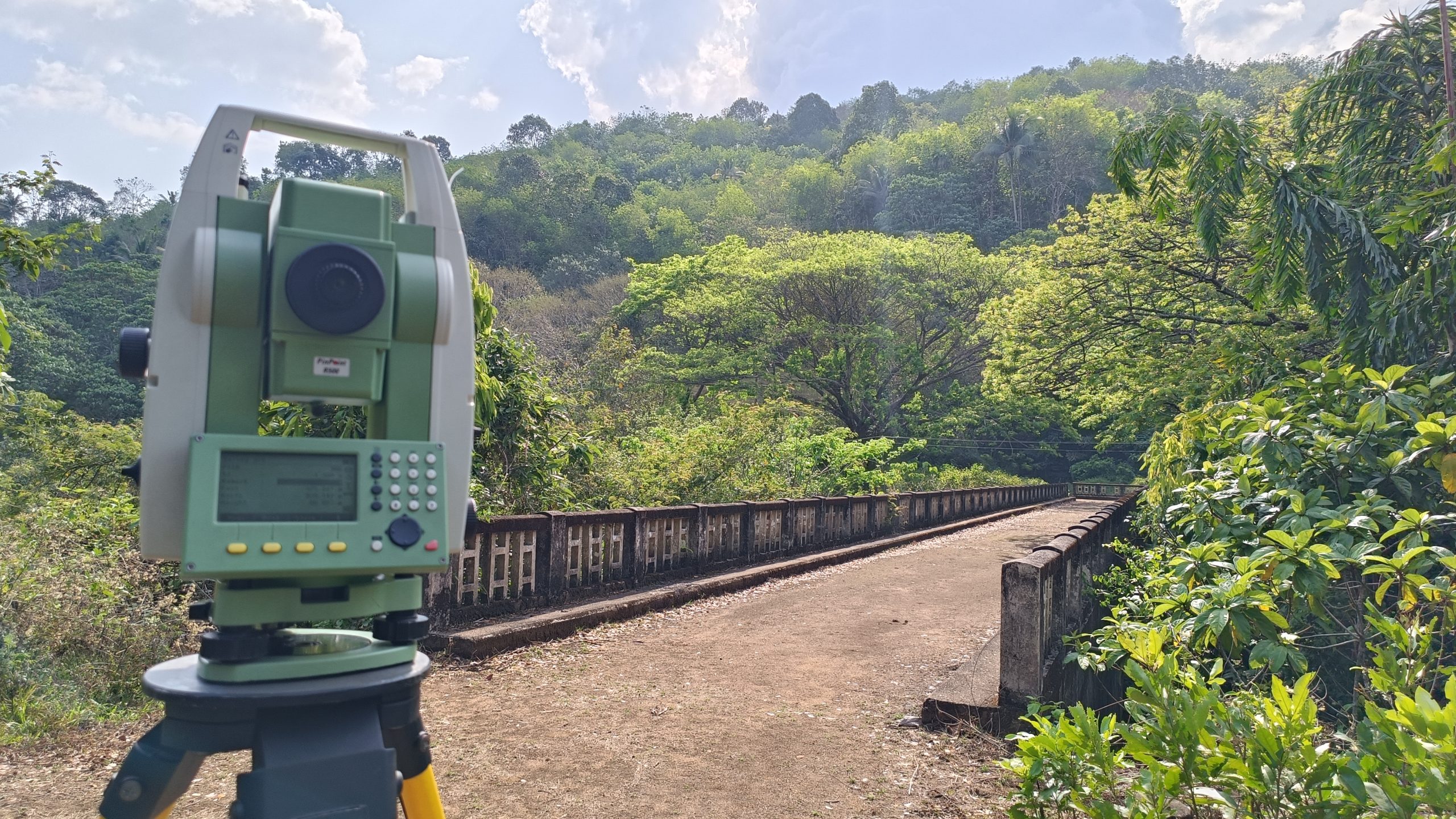
Digital Land Survey
Computerised Land Survey using Total Station and GPS.
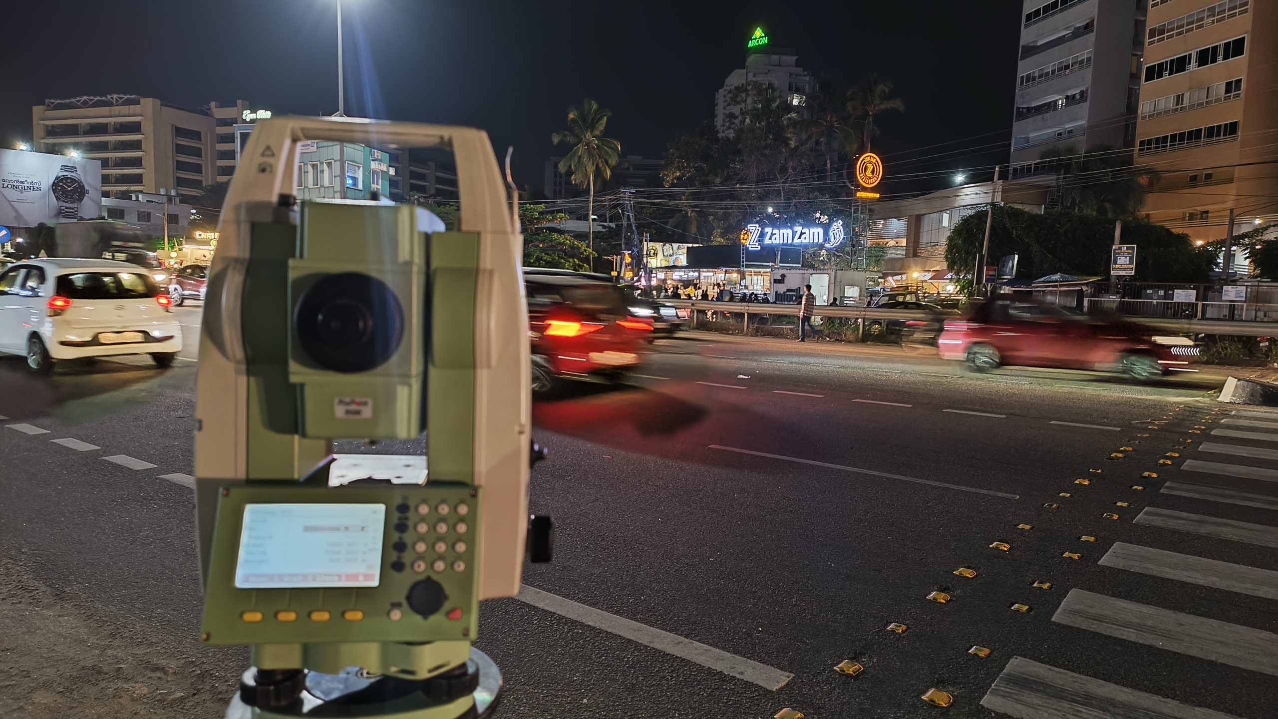
Road Survey
Helps to identify the right location for the road works along with optimal curve placements.
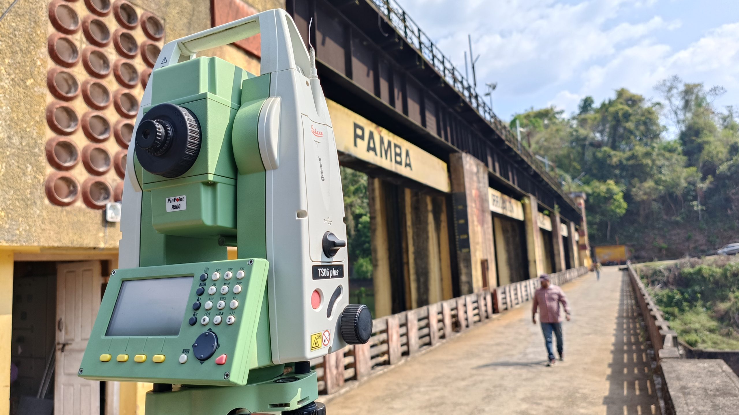
Quantity Calculation
Helps to calculate the quantity of earthwork in cutting, filling for constructions.

GPS Survey
Uses RTK Survey technology to measure relative positions.
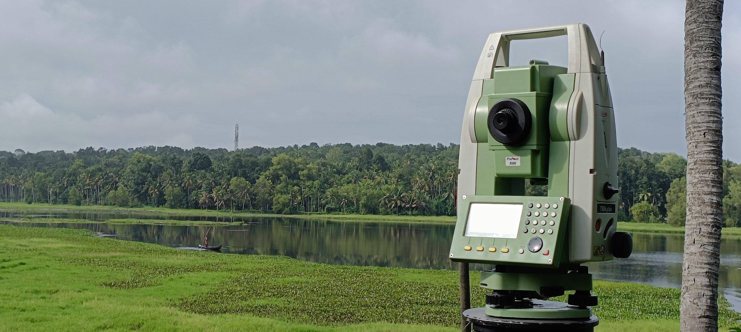
Plot Division
Divide land into required no. of Plots
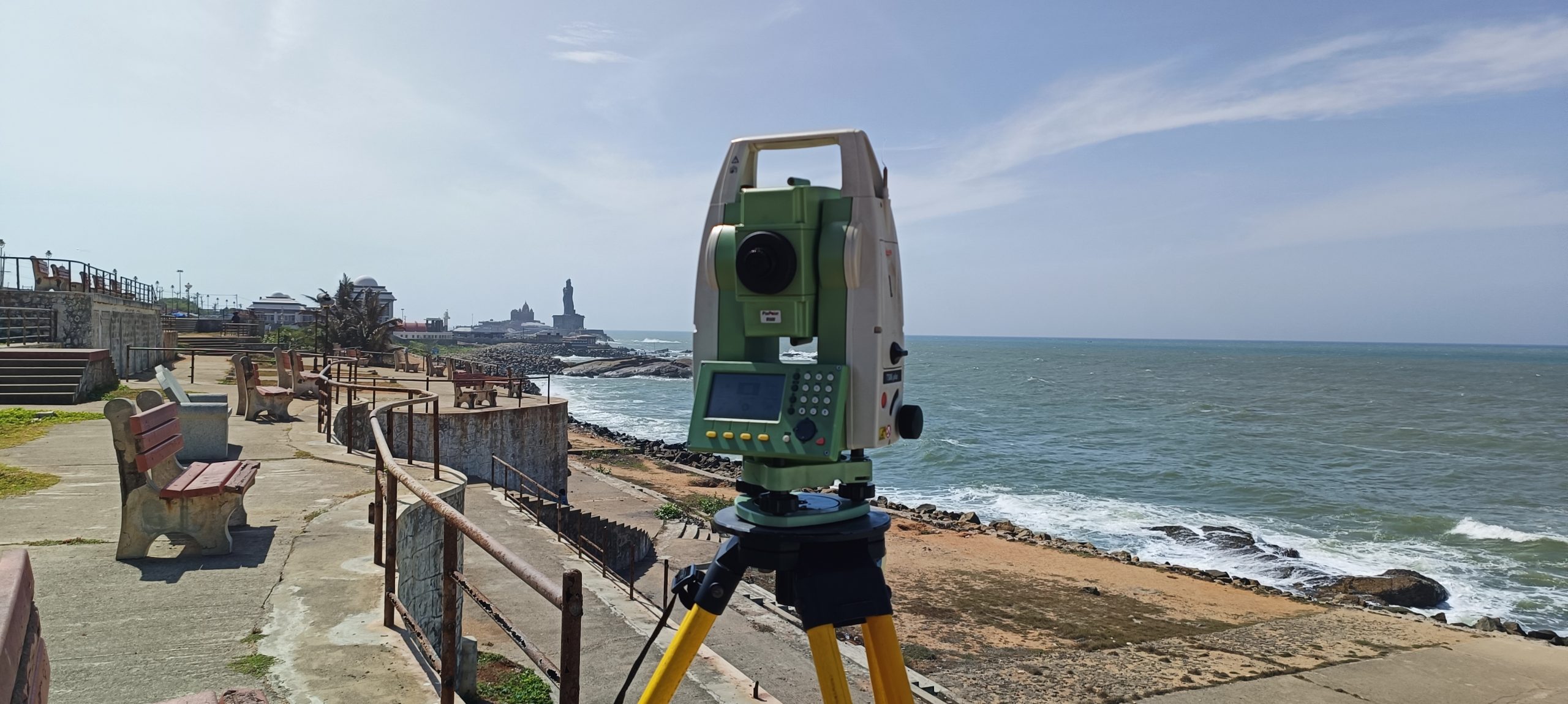
Construction Survey
Performs Interior Survey and survey work for various Construction Purposes.
Sustainability
Committed To Provide Best Land Survey Services.
At Orbit Surveyors, we are committed to delivering accurate, efficient, and technologically advanced land surveying services. Our team of experienced Surveyors are measuring today for a sustainable tomorrow.
We Follow Best Practices
We are committed to providing best land surveying services that provide unparalleled accuracy and efficiency. Our team of experienced and licensed surveyors utilizes computerized equipment, to deliver precise and reliable surveying solutions.
- Sustainablility
- Project On Time
- Modern Technology
Sustainability
Discover your Land's Potential
Land surveying plays a crucial role in various industries and applications, including real estate development, construction. With years of experience, we bring a new dimension to Land Surveying. Discover the potential of your land with Orbit Land Surveyors – Your Trusted Digital Survey partner
Orbit Surveyors
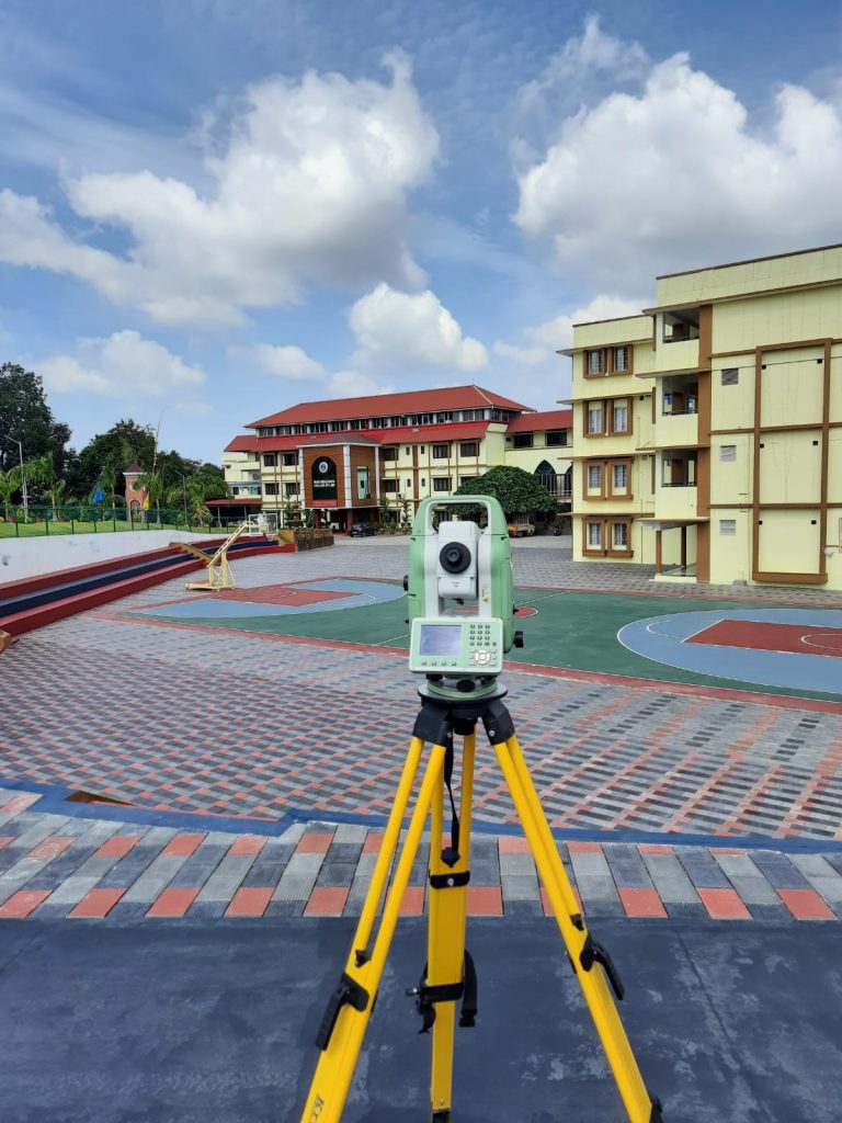
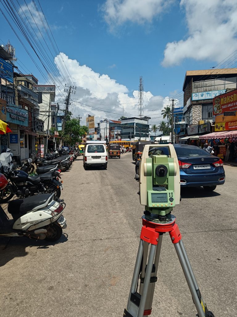
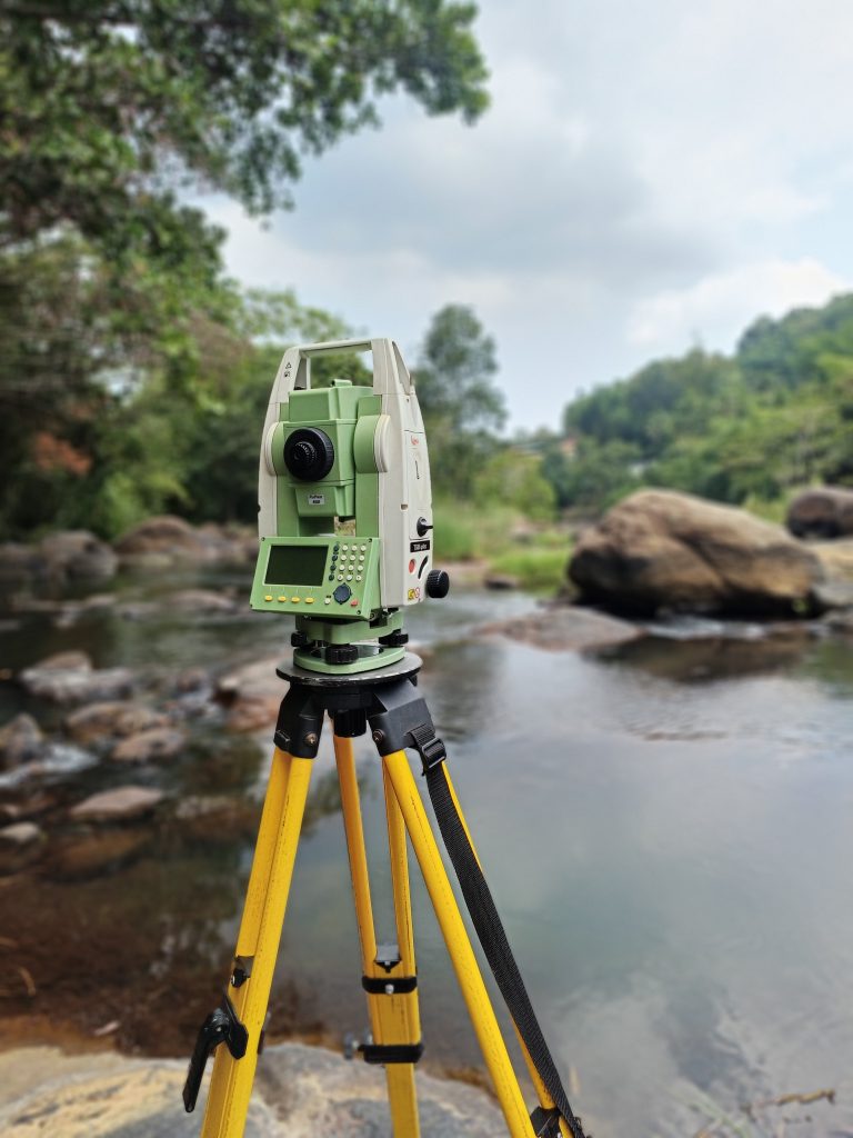
Our Digital Survey Works
Topographical Survey
Construction Survey
Plot Division
GPS Survey
Whar Our Clients Say
Testimonials
Rakesh R J
apt for their job and good customer relationship.
Tony A.S.
Good customer response and professional work.

Santhisenan G
Good work. Accurate and speedy response
Ram
Professional and Responsive
Request a Quote
Learn More From
Frequently Asked Questions
Topographic surveys, Accurate Boundary Mapping, Construction Surveys, Real Time GPS Tracking, Contour Surveys, Plot Division, Interior Surveys, Quantity Calculations.
- Experience
- Cutting Edge Technology
- Dedicated Team
- Tailored Solutions
- High Precision and accuracy
- High Efficiency
- Cost Saving
